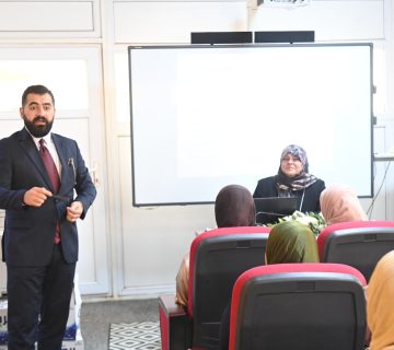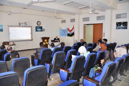
The Department of Remote Sensitivity and Geographic Information Systems, in collaboration with the Continuing Education Unit at the College of Science has organized a lecture entitled “Earthquakes: causes, effects and distribution” in the presence of a number of students and researchers specialized in geological and remote sensing. The aim of the lecture was to explain the occurrence of earthquakes and how they are distributed in the regions of the globe and the types of seismic waves generated by their occurrence and the method of measuring the tremor and the intensity used in describing it and how it determines its different locations and types and the reasons for its occurrence and its devastating effects that have occurred in the past and the means of protection that can make human beings and vital facilities seismically safe and where Iraq falls seismically.
The lecture that was presented by Prof. Dr. Fityan Rasheed al-Rawi introduced earthquakes and their annual preparations worldwide, the reasons for their occurrence and results, identifying tectonic plates and their borders, seismic activity on the Iraqi-Iranian border, their causes and effects on Iraq, the means of protection against earthquakes and earthquakes, the measures to be adopted to prevent the time of the earthquake or when buildings are constructed, the identification of epics and seismic centers, how they are divided by their depth and presentation of seismic activity sites at the Pacific Ocean. The lecturer recommended the need to measure seismic plants and adopt them in all modern facilities, especially economic and major ones and the importance of community awareness of their dangers.