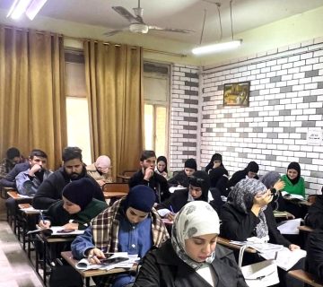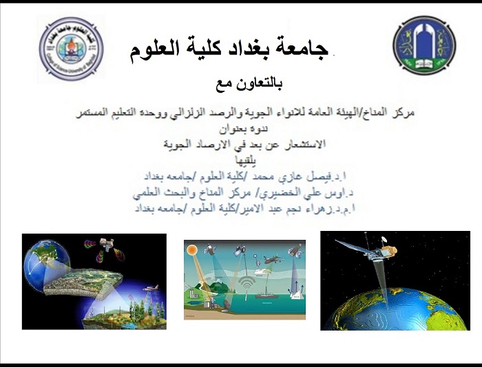
The department of remote sensing & geographic information systems, in coordination with Ibn Sina e-learning unit and the continuing education units at the college of science and in collaboration with the Climate Center of the General Seismic Development and Monitoring Organization, organized a virtual scientific symposium entitled “Remote sensing in meteorology” with the participation of a number of students, professors and those concerned with the physical and geographical affairs.
The symposium aimed to review the importance of remote sensing technologies and their role in satellite meteorological systems, which are of great importance to the activities of the World Meteorological Organization (WMO) since these satellites provide specific remote sensing data to the meteorological systems, including space images of various wavelengths that can be converted into meteorological measurements such as cloud cover, cloud motion vectors, surface temperature, atmospheric vertical structure including thermal characteristics, humidity, snow cover, ice, ozone and various radiation measurements. The symposium was presented by Prof. Dr. Faisal Ghazi Mohammed, Dr. Aws Ali al-Khudhairi and Dr. Zahraa Najim Abd al-Amir who provided a thorough explanation of the design of special remote sensing projects since the 1990s, that provided observations on land or in ocean to benefit from such meteorological applications in agricultural, aviation and marine activities.