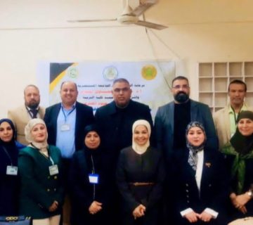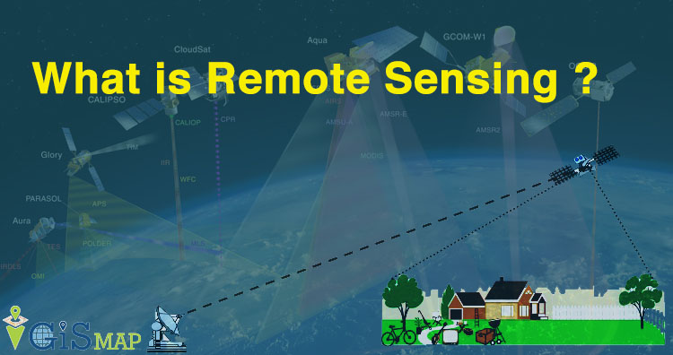
The Department of Archeology, in cooperation with the Continuing Education Unit at the College of Arts has organized a workshop entitled (Remote Sensing Methods in Interpreting the Archaeological Aerial Image).
The workshop aimed that the process of summarizing remote sensing techniques and their connection to archeology is not an easy process due to the diversity of tools, data, analytical devices, results and applications, which involve under the concept of remote sensing, in the sense of providing a summary of the methods used in surveying archaeological sites that are more common in use and that involve under this concept, as well as divided into two basic types, each type includes a set of technologies and scientific means that fall within. The lecture focused on the techniques of the aerial photography as a basic and common type in the study of antiquities and the correct scientific method used to study any archaeological site enhanced by illustration, pictures and tables.