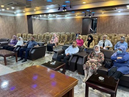
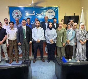
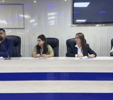
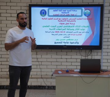
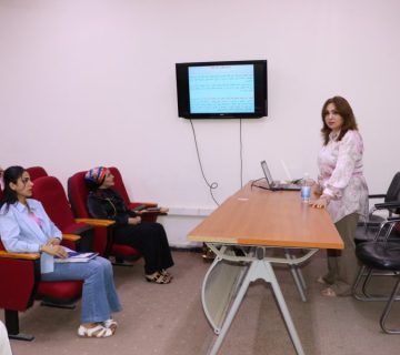
The National Center for Population and Demographic Studies at the University of Baghdad organized a lecture titled “Spatial Suitability Between Industrial and Residential Areas Using GIS,” delivered by Dr. Zainab Abdul-Hussein Salman, a lecturer at the center. The lecture aimed to clarify several concepts, including the general concept of spatial suitability and the concept of locational patterns for industrial uses in Baghdad Governorate.
The lecture covered various locational patterns, including sites of old parts of the city, locations of the city’s suburbs, water frontages, and sites along major roads as well as scattered locations within residential areas. It also highlighted key criteria for selecting industrial sites and the role of Geographic Information Systems (GIS) in identifying suitable locations for various types of industries.
This was achieved through the provision of digital elevation data for the study area and the creation of buffer layers around industrial sites and residential areas within the study zone. The lecture concluded that the intensity of overlap in the surrounding systems of industrial and residential areas indicates the strength of the impact that industrial activity has on residential zones. Additionally, areas not included within the buffer zone can be considered the most suitable locations for establishing various types of industries.


