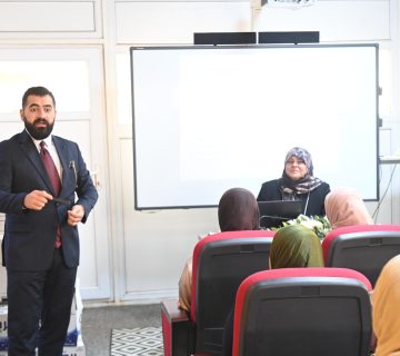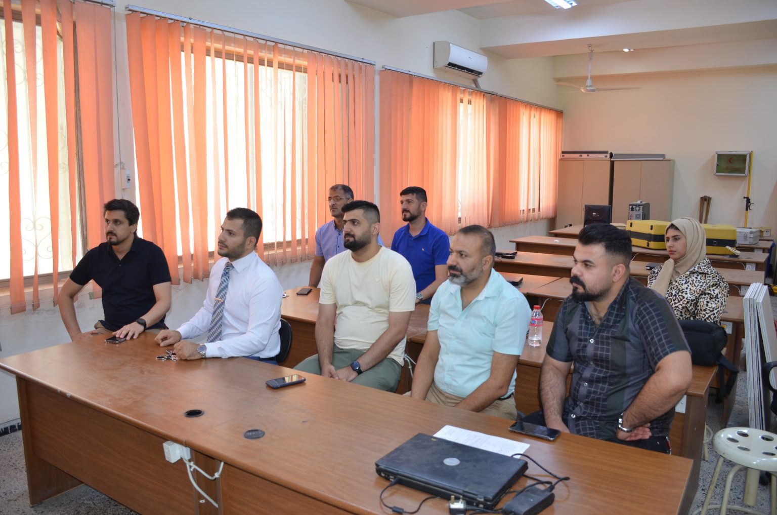
The Remote Sensing Unit, in collaboration with the Continuing Education Unit at the College of Science, University of Baghdad, held a workshop titled “Spatial Analysis in Detecting Hotspots of Drug Possession and Usage in Baghdad City.” The workshop was attended by several postgraduate students and researchers specializing in remote sensing.
The activity aimed to introduce the importance of modern technologies in the field of Geographic Information Systems (GIS) as one of the key tools used worldwide to support decision-making across various government ministries. It focused on their utilization in planning and development, as well as assessing the progress of nations in adopting these technologies to build a comprehensive geographic information database and integrated mechanism serving all government entities.
The workshop included an overview of the environmental, health, and social impacts of drug use, utilizing remote sensing data and various statistical theories to monitor the distribution and prevalence of these crimes. It emphasized the importance of Geographic Information Systems (GIS) in managing natural disasters by reducing human and economic losses, such as in hurricanes and earthquakes.
GIS and spatial information systems are essential components of modern life that cannot be overlooked. The workshop also underscored the significance of building an advanced information network that includes experts in remote sensing.