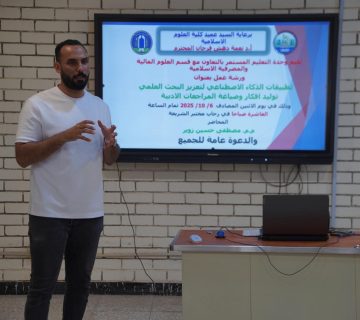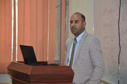
The Department of Remote Sensing and Geographic Information Systems, in cooperation with the Continuing Education Unit at the College of Science, has organized a lecture entitled “Stages of Development of Remote Sensing Science” in the presence of a number of students, researchers and those concerned with the specialization of geography. The lecture aimed to introduce the science of remote sensing and explain the most important stages of its development, science and its most important applications, after it went through four stages of development, starting from the balloon industry, to the era of satellites, as well as reviewing its current applications in many applications, especially in the field of security, agriculture, city planning and many other fields.
The lecture was presented by Prof. Dr. Faisal Ghazi and Dr. Khaled Hussein, who tried to highlight one of the latest inventions in the world of modern technology, such as remote sensing, indicating its importance in detecting the secrets of the earth from the space, revealing its reliance on this method according to measuring the reflections of electromagnetic rays bounced back toward the earth, from natural resources buried in the depths, or scattered on the surface of the earth, or by measuring the radiation released by these resources, as well as observing their defect or volume, and monitoring it to remove the plant, the movement of sand, drying up of water bodies, underwater diving, satellite monitoring.