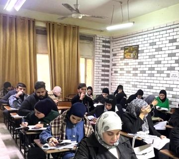
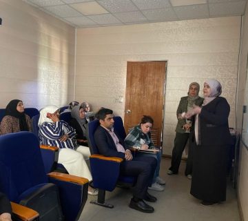
The Remote Sensing Unit, in cooperation with the Continuing Education Unit at the College of Science has established a training course entitled “Spatial Analysis Using GIS Advanced Level” with the participation of a number of graduate students and researchers in the field of remote sensing. The course aimed to introduce the most important modern technologies in the field of the importance of geographic information systems as one of the most important means used to support decision-making in various state ministries in most countries of the world and use them in the field of planning and development, and the means of measuring the progress of countries and the extent to which they possess this technology to work on building a geographic information base and an integrated mechanism that serves all state agencies, as well as providing a spatial automated information network for leaders to enable them to follow up and monitor sub-departments as well as identifying their deficits, improving the level of information dealing with citizens, as one of the most important features of urbanization of contemporary societies.
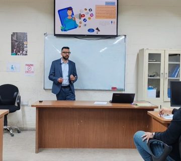
The course was delivered by Dr. Fouad Kazim Mashi and the Assist. Lecturer Ali Abdul Nabi who talked about the importance of (GIS) in managing natural disasters in terms of reducing human and economic losses, as is the case in hurricanes, earthquakes, geographic information systems and spatial information, which is a necessity of contemporary life that cannot be dispensed with, and the importance of building an advanced information network that includes experts in remote sensitization, contributing to the service of the digital and information system in Iraq, and publishing research related to modern methods of remote sensing field, how to actually employing them in maritime, military, scientific and maritime applications, GIS apps in the field of digital maps.