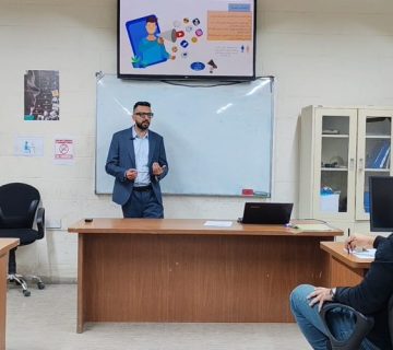
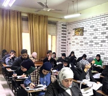
The Remote Sensing Unit, in cooperation with the Continuing Education Unit at the College of Science, has organized a training workshop entitled: “GPR’s applications” in the presence of the dean of the college, Prof. Dr. Abdul Karim al-Qazzaz, and a number of students, researchers and those concerned with the specialization of remote and geological sensing. The workshop aimed to introduce GPR that is a general term applied to technologies that use radio waves, to map structures and features buried in the ground or in man-made structures, so it is focusing mainly on mapping structures in the ground and where it was recently used in non-destructive testing of non-metallic structures.
The lecture that was attended by the dean’s assistants for student and scientific affairs tried to stress on one of the most successful innovative works in this field through the use of Radial EBUS Probes to map the thickness of ice sheets in the Arctic and Antarctic pointing to the start of work with GPR in non-glacial environments in the early seventies, emphasizing its use in many different areas including locating buried facilities, mine site assessment, criminal investigations, archaeological excavations, searching for buried landmines and unexploded ordnance, measuring the thickness and quality of snow and ice for ski slope management and predicting avalanches in 3D images.