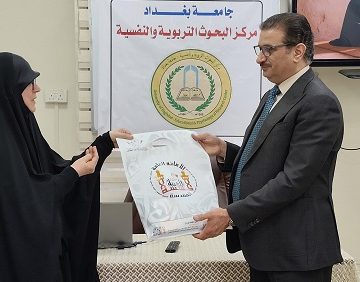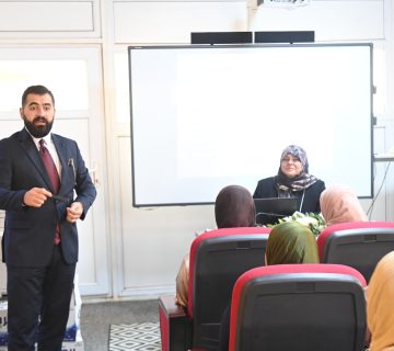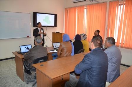
The Remote Sensing Unit, in collaboration with the Continuing Education Unit at the Faculty of Science has organized the specialized course on the “Basics of GIS software program” in the presence of a number of students, professors and specialists in remote sensing and geography. The aim of the course was to identify the basic principles of GIS and its applications and the stages of preparing students or researchers to know the history of GIS and produce digital maps of various types and design, and the most important technologies of smart devices for field survey technology, coordinate systems, projection, geographical retrieval foundations, the establishment of geographical databases in a proper manner and the process of drawing, editing and other areas.
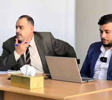
The course, which was presented by Assist. Prof. Dr. Fouad Kazem Mashi, Assist. Prof. Dr. Alaa Saud Mahdi and the researcher Abdul Rahman Bilal, included discussing the importance of GIS in managing natural disasters in terms of reducing human and economic losses, such as in hurricanes, earthquakes, geographic information systems and spatial information systems, which are essential to contemporary life, and the importance of building a sophisticated information network of remote sensors, which contributes to the service of this software that can be actually employed in marine, military, scientific and maritime applications, as well as in digital maps.