The remote sensing unit at the college of science has fulfilled the requirements of its scientific and research mission in serving the community through a fruitful scientific cooperation initiative with the scientific research authority of the Iraqi ministry of industry and minerals.
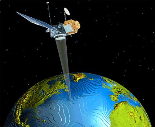
The goal of this quest is to provide scientific devices and software to other entities in the field of global positioning systems (GPS) in integration with geographic information systems (GIS) to generate a digital elevation model (DEM) which was one of the challenges faced by the ministry of industry in the field of remote sensitivity. In recognition of these fruitful efforts, a number of professors received a letter of thanks and appreciation for their contributions that led to the completion of studies by devoting the college’s assets and laboratories to meet the needs of state institutions as well as the private sector in support of such promising projects.