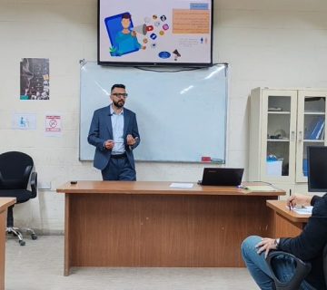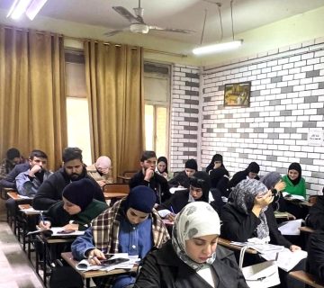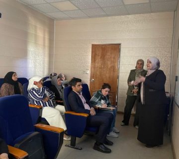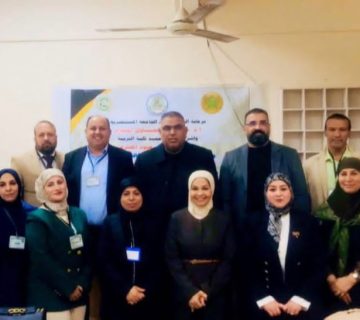
The department of remote sensing and geographic information systems in collaboration with the continuing education unit at the college of science has organized a training course entiled “Analysis and interpretation of space images” delivered by Dr. Fouad Kazim Al-Ramahi in the presence of a number of professors and researchers.
The course aimed to share scientific knowledge with others regarding the most important modern technologies in this topic and keep up with its global developments which include conducting a geographical correction of satellite images, how to choose ground control points and deal with them, reducing the error rates of the terrain in coordinates. The three-day course included the automated interpretation of satellite imagery which requires an extensive experience and skill in the field of computer vision technology, as well as scientific terminology for mapping.